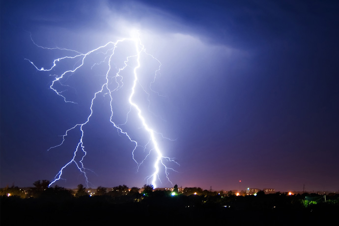

Lightning is impressive to behold but can pose multiple hazards. (Photo: Evgeniy1/iStock/Thinkstock)
ECMWF will soon provide global forecasts of one of the most spectacular phenomena in the atmosphere: lightning. Predictions cannot be made for individual flashes, but forecasts for average lightning activity can have useful skill up to several days ahead.
Lightning is not just awe-inspiring but can also cause considerable damage: it can trigger wildfires; disrupt air traffic; cause power outages or power surges; and damage buildings. In rare cases it can also lead to fatalities.
Lightning appears to strike at random. So how can we predict it?
The answer is: by exploiting its dependence on particular weather conditions and by averaging over sufficiently large spatial and temporal scales.
Forecasts can for example indicate the probability that the lightning flash density over a particular area and period of time will exceed a certain threshold.

Lightning flashes can cause wildfires and pose a hazard to living beings. (Photo: Vasilvich/iStock/Thinkstock)
Link with convection
“The main reason why we can predict lightning is that it is linked to particular weather conditions,” ECMWF scientist Philippe Lopez explains.
A key ingredient is intense convection: the rising of plumes of moist air in response to instability in the atmosphere, usually associated with the development of cumulonimbus clouds.
Such atmospheric conditions often involve collisions between hydrometeors such as graupel, hail, ice particles and liquid water droplets.
The collisions may cause electric charges in those particles to separate, which leads to the creation of oppositely charged layers inside the clouds.
The resulting electric fields can lead to the powerful discharges we observe as lightning.

Simplified diagram of the typical distribution of positive (+) and negative (–) electric charges inside a thunderstorm cloud, with associated intra-cloud (IC) and cloud-to-ground (CG) lightning flashes.
The atmospheric conditions that cause lightning are routinely predicted by today’s powerful numerical weather prediction models.
The lightning scheme developed at ECMWF uses that information to predict the density of lightning flashes over a given area and in a given period of time.
“The scheme was designed in such a way that the lightning it produces globally over a whole year is in line with the lightning climatology derived from satellite observations,” Philippe says.

Annual mean lightning flash densities from the LIS/OTD satellite climatology (left) and from ten one-year-long ECMWF model runs (right), both at 80 km resolution.
Suitable scales
Experiments show that the forecasts for lightning to be produced by ECMWF’s Integrated Forecasting System (IFS) can have useful skill to at least day 3.
But the skill crucially depends on the size of the area and the duration for which a prediction is made.
When averaging over the next 24 hours and the whole of Europe, for example, impressive agreement with observations can be achieved.

Time series of daily mean lightning flash densities from IFS short-range forecasts (0 to 24 hours) at 16 km resolution and from UBIMET lightning detection system (LDS) ground-based observations over Europe during the summer of 2015.
Forecast quality is generally lower for smaller averaging times and areas.
“Accurately forecasting lightning on a scale of a few tens of kilometres and within an hour is still very challenging with the IFS,” Philippe says.
Probabilistic predictions
The discrete and random nature of lightning makes it particularly suitable for the probabilistic predictions provided by ensemble forecasts.
An ensemble forecast is a set of forecasts that represent the range of future weather possibilities and their likelihood of occurrence.
Ensemble forecasts can be used to create maps of the probability that lightning flash density will exceed a certain threshold.

The left-hand chart shows ATDnet observed 6-hour mean lightning flash densities on 23 June 2017 at 1800 UTC and the right-hand chart shows the probability (above 30%) that the lightning flash density will exceed 0.5 flashes/100 km2/hour at that time, according to a 66-hour ensemble forecast at 16 km resolution.
The right-hand chart shown above is an example of such a probability map. It shows locations where the probability of at least 0.5 flashes/100 km2/hour is predicted to be at least 30%.
The ATDnet lightning observations on the left-hand side show that the 66-hour forecasts provide useful guidance on the regions expected to be affected by lightning.
The lightning scheme or ‘parametrization’ developed by Philippe is part of the next upgrade of the IFS due to be implemented later this year.
Philippe’s work used lightning observations kindly provided by the UBIMET weather service, the UK Met Office, the European collaboration EUCLID, and NASA's Global Hydrology Resource Center.