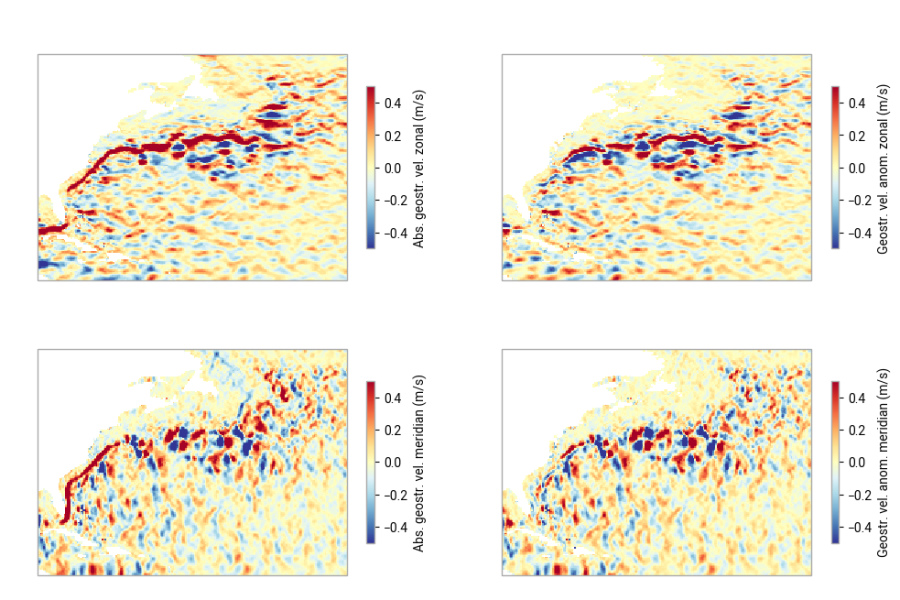
Practical introduction to the Sea level gridded data: plotting data during an El Niño event and over a strong current
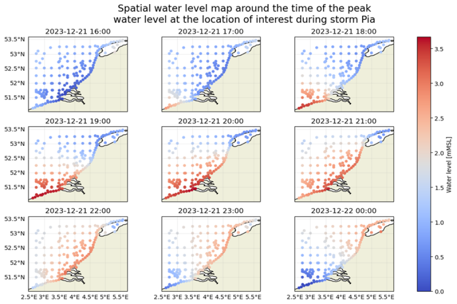
GTSM reanalysis experiment data are used to explore historical storm events.
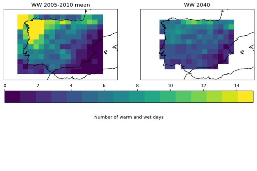
How to use data from CDS to compute an agroclimatic indicator, specifically, the "Warm and wet days" (WW) indicator
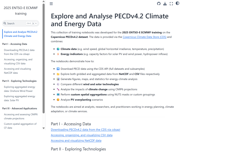
Jupyterbook on how to explore and analyse climate and energy data from the Pan-European Climate Database version 4.2.
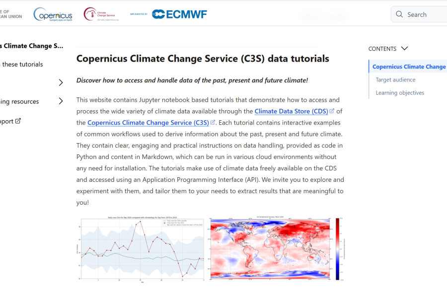
Jupyter notebook based tutorials that demonstrate how to access and handle climate data available through C3S.
From analysis of the past to future projections Short online courseBecause you don't have to be a climate scientist to make climate data work for you! Online...
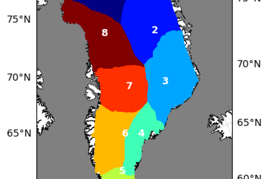
Gravimetric Mass Balance data for selected regions. Download, calculation and display average change rates over time.
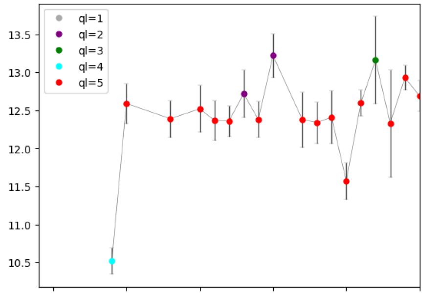
LSWT from satellite radiometers: download and extraction; visualization of timeseries and location of the lake centre; quality and uncertainty
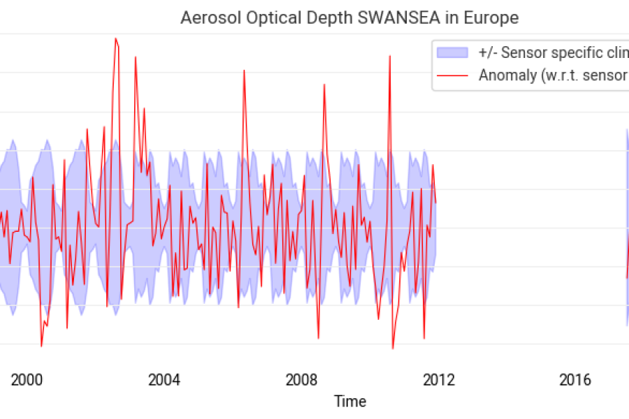
Introduction to the C3S Aerosol properties gridded data derived from satellite. Creation of a full Climate Data Record.