ecCodes is an application programming interface developed by ECMWF to decode and encode in WMO GRIB format.
ecCodes is an application programming interface developed by ECMWF to decode and encode in WMO GRIB and BUFR formats.
This lesson is focused on how to gain flexibility and control when handling GRIB data using advanced ecCodes tools.
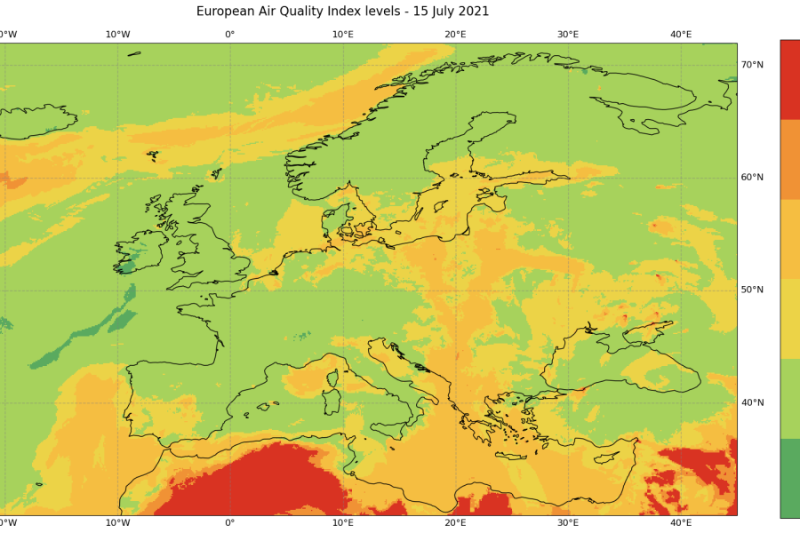
Calculating and mapping the European AQI from CAMS pollutant data and analysing pollutants with heat maps.
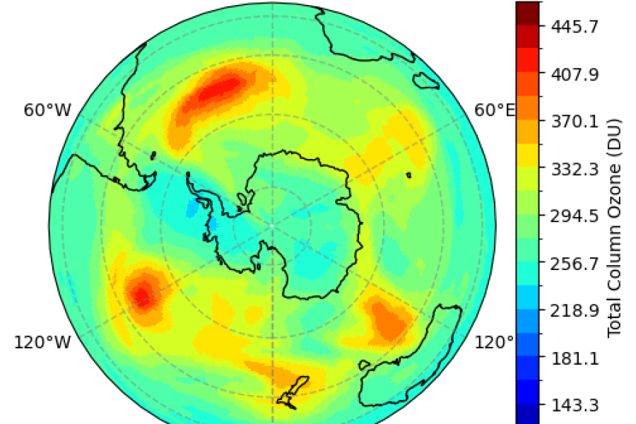
Processing and visualising CAMS ozone fields to visualise and animate the Antarctic ozone hole.
Six modules introducing the main topics in machine learning in the context of weather and climate.
Five modules covering decision trees, deep learning, uncertainty and generative models, and physics-guided approaches.
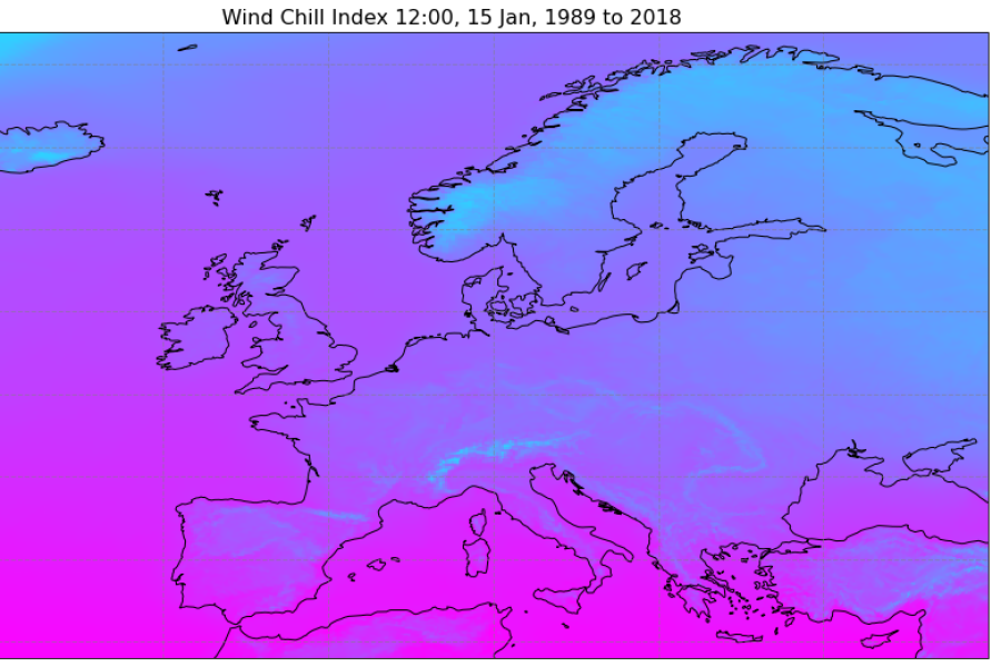
How to combine multiple variables of climate data to create an index: wind speed index as an example
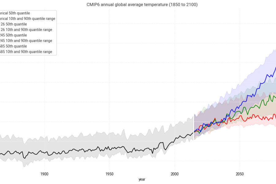
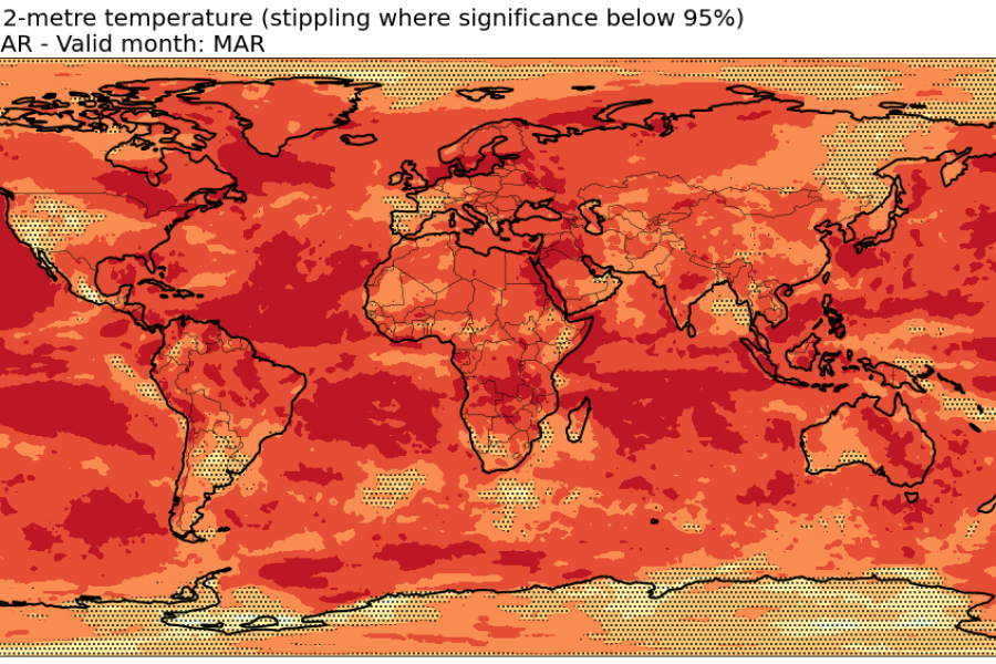
Access CMIP6 global climate projections from the C3S Climate Data Store, plot projected 2m temperature from model ensemble.
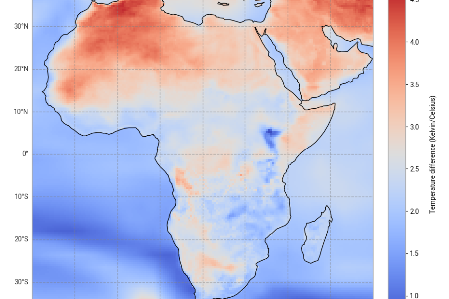
Introduction to CORDEX regional climate model data on single levels. Compute difference in air temperature climatologies.
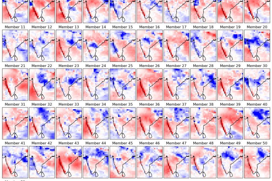
Introduction to calculating seasonal forecast anomalies. Visualisation as spatial maps, time series and interactive plot
Access hindcast data of 2-metre temperature; Compute anomalies, averages and verification metrics.