Skip to main content
menu
help_outline
Search
help_outline
Help
login
Log in
search
account_circle
Main navigation
Home
About
Forecasts
Computing
Research
Learning
Publications
Main navigation
Training
Workshops
Seminars
Training
Filter by
Showing 1 - 12 of 39 results
Relevance
Title
Date
Sort ascending
Upcoming
Training course: Machine Learning-based weather forecasting
Event:
16 November, 2026
-
20 November, 2026
| ECMWF
Tags:
Machine learning
This five-day training offers a deep dive into Earth system forecasting using state-of-the-art deep learning approaches...
Upcoming
Panel: Towards Regional High-Resolution Weather Forecasting with Machine Learning
Event:
03 July, 2026
-
03 July, 2026
| Virtual
Tags:
Machine learning
Outline ECMWF will host a live panel on 3 July 2026, under the Destination Earth (#DestinE) initiative of DG-CNECT at...
Evaluation and benchmarking
Format:
Videos
Playlist:
Machine Learning for Earth Systems Modelling: Architectures, Data, and Prediction
Published:
June 29, 2026
Sam Allen will go in depth in model evaluation statistics of models as well as a variety of methods used for...
Ensemble probabilistic forecasting at ECMWF
Format:
Videos
Playlist:
Machine Learning for Earth Systems Modelling: Architectures, Data, and Prediction
Published:
June 29, 2026
In this lecture, Simon Lang explains the benefits, risks and differences of using AIFS ensemble forecasts compared to...
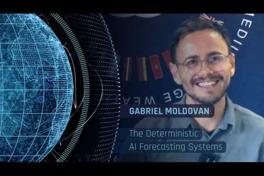
The Deterministic AI Forecasting Systems (AIFS-Single)
Format:
Videos
Playlist:
Machine Learning for Earth Systems Modelling: Architectures, Data, and Prediction
Published:
June 24, 2026
In this lecture Gabriel Moldovan goes into more depth on the AIFS, from Architecture to its use cases. Gabriel shortly...
Beyond Morpheus - navigating the new EWC Services
Format:
Videos
Playlist:
European Weather Cloud (EWC)
Published:
June 22, 2026
This webinar focuses on the transition away from Morpheus, which will be phased out at the end of 2026. Users are shown...
Introduction to the Earth AI model
Format:
Videos
Playlist:
Machine Learning for Earth Systems Modelling: Architectures, Data, and Prediction
Published:
June 8, 2026
Joel Oskarsson introduces the interactive AI Earth model explorer where he explains the architecture and how to find...
Upcoming
Online course: ML for Earth Systems Modelling - Architectures, data, and prediction
Event:
01 June, 2026
-
24 July, 2026
| Online
Tags:
Machine learning
This online course explores the technical foundations of machine learning (ML) for weather and climate prediction within...
Neural Networks for Deep Learning
Format:
Videos
Playlist:
Machine Learning for Earth Systems Modelling: Architectures, Data, and Prediction
Published:
May 29, 2026
Mario Santa Cruz Lopez walks through the fundamentals of neural networks and deep learning — from neurons and layers to...
MOOC - Deep Dive into the Building Blocks of Modern Deep Learning
Format:
Videos
Playlist:
Machine Learning for Earth Systems Modelling: Architectures, Data, and Prediction
Published:
May 29, 2026
Jesper Dramsch will cover the most important building blocks in deep-learning, such as different types of neural...
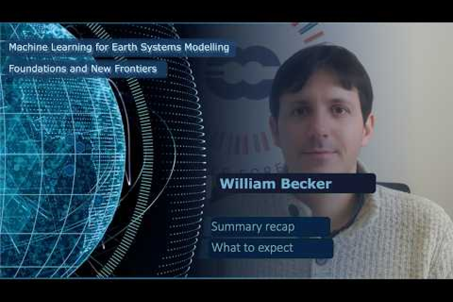
Wrap up of the Machine Learning for Earth Systems Modelling: Foundations and New Frontiers course
Format:
Videos
Playlist:
Machine Learning for Earth Systems Modelling: Foundations and New Frontiers
Published:
April 20, 2026
William Becker, a data scientist working in developing training courses in machine learning at ECMWF provides a summary...
What we Might Expect Over the Next Decade for Machine Learning in Weather and Climate Modelling
Format:
Videos
Playlist:
Machine Learning for Earth Systems Modelling: Foundations and New Frontiers
Published:
April 7, 2026
This video is the recording of the webinar on the evolving role of machine learning (ML) and artificial intelligence (AI...
Pagination
Current page
1
Page
2
Page
3
Page
4
Next page
››
Last page
Last »
expand_less
expand_more