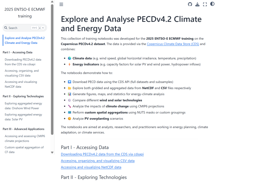
Jupyterbook on how to explore and analyse climate and energy data from the Pan-European Climate Database version 4.2.
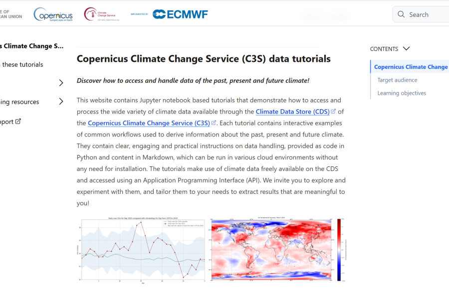
Jupyter notebook based tutorials that demonstrate how to access and handle climate data available through C3S.
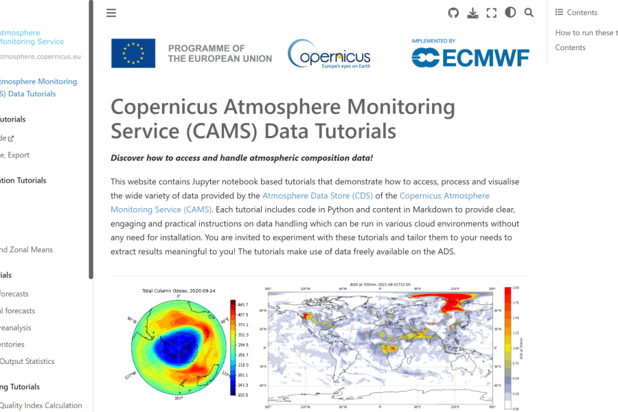
Jupyter notebook based tutorials that demonstrate how to access and handle atmospheric products available through CAMS.
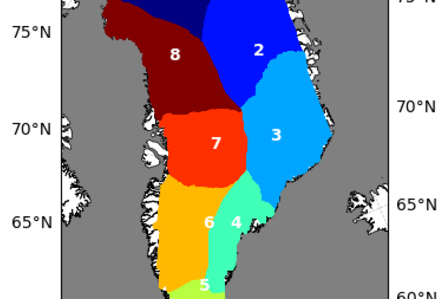
Gravimetric Mass Balance data for selected regions. Download, calculation and display average change rates over time.
LSWT from satellite radiometers: download and extraction; visualization of timeseries and location of the lake centre; quality and uncertainty
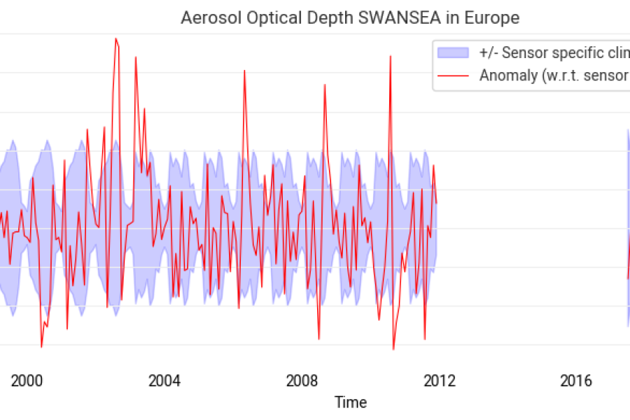
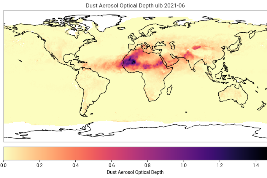
Introduction to the C3S Aerosol properties gridded data derived from satellite. Creation of a full Climate Data Record.
Introduction to the C3S Aerosol properties gridded data derived from satellite. Use cases for monthly mean single sensor data.
Access and use of satellite-derived Greenhouse Gas (GHG) atmospheric carbon dioxide (CO2) Level 2 data product.
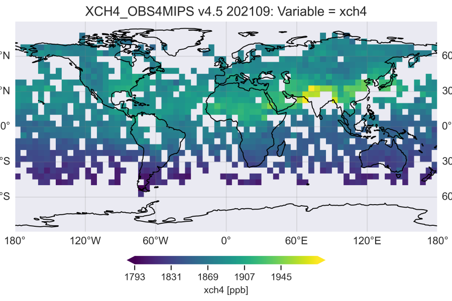
How to access, read and use Greenhouse Gas atmospheric carbon dioxide and methane data: temporal and spatial variation.
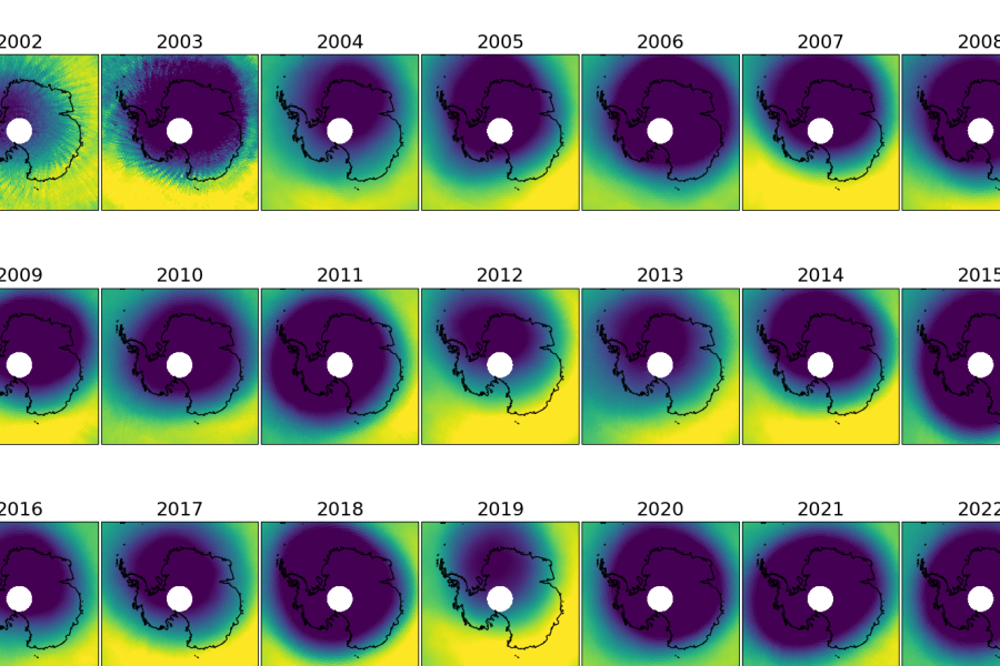
Spatial and temporal ozone distribution of the total ozone columns. Retrieval of the data and analysis.
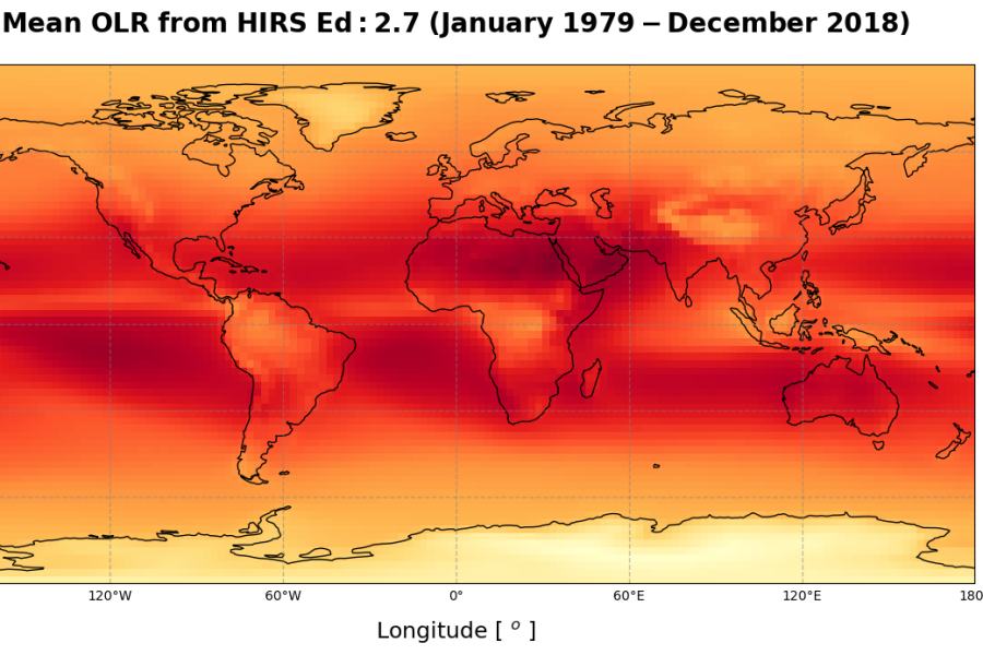
Introduction to the ECV Earth Radiation Budget, Outgoing Longwave Radiation (OLR) and three use cases
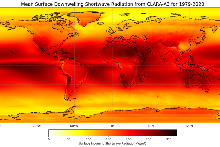
Cloud and radiation parameters of EUMETSAT's CM SAF CLARA-A3 dataset. Connection between clouds and radiation.