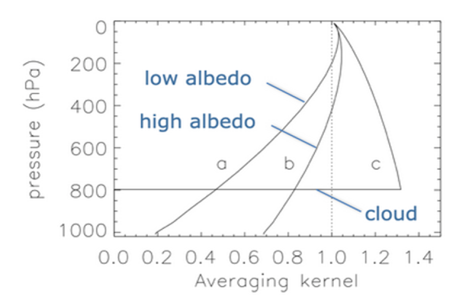
Introducing the theory of comparing satellite retrievals with model fields using averaging kernels and operators.
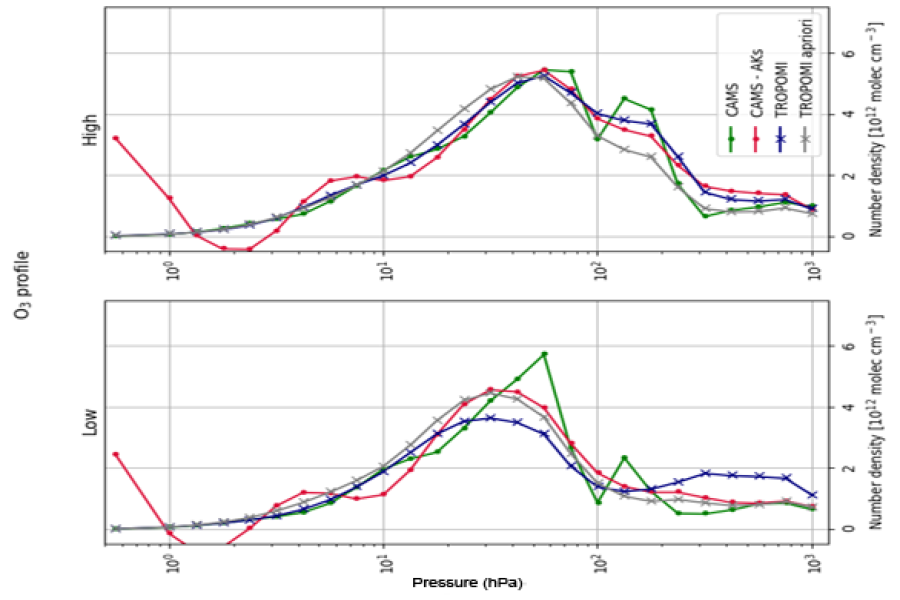
Analysing TROPOMI ozone profiles using averaging kernels to compare satellite retrievals with model vertical structure.
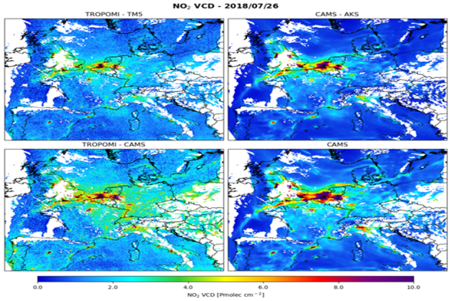
Comparing TROPOMI NO₂ observations with CAMS regional fields to assess spatial patterns and air-quality variability.
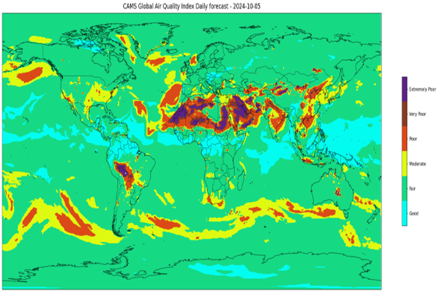
Computing and visualising the global AQI from CAMS pollutants to assess air-quality conditions worldwide.
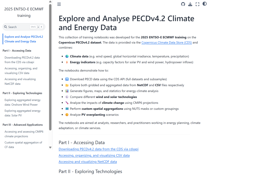
Jupyterbook on how to explore and analyse climate and energy data from the Pan-European Climate Database version 4.2.
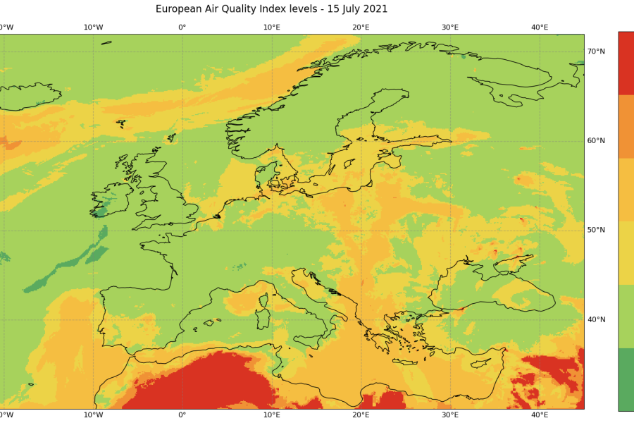
Calculating and mapping the European AQI from CAMS pollutant data and analysing pollutants with heat maps.
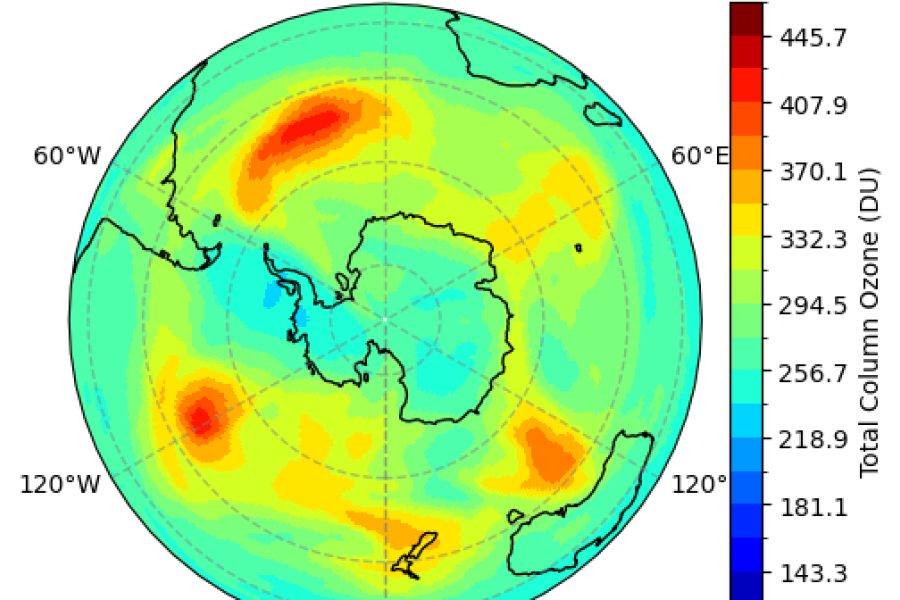
Processing and visualising CAMS ozone fields to visualise and animate the Antarctic ozone hole.
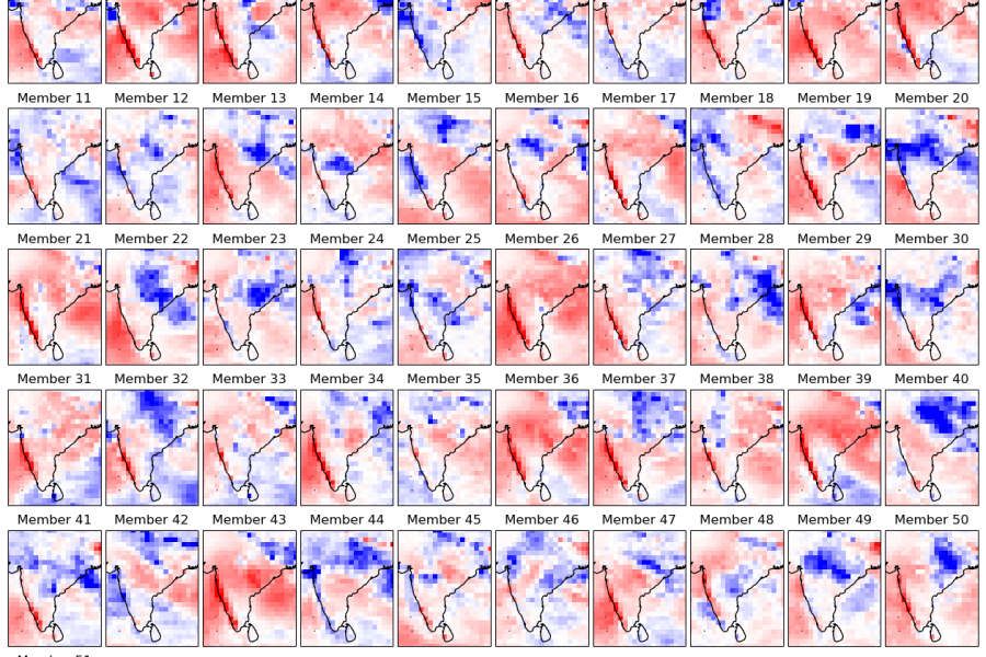
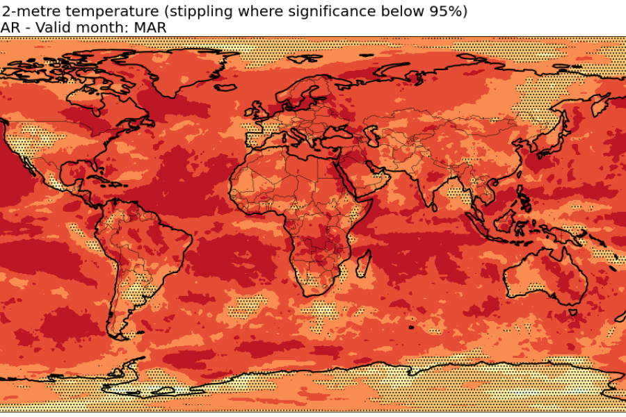
Introduction to calculating seasonal forecast anomalies. Visualisation as spatial maps, time series and interactive plot
Access hindcast data of 2-metre temperature; Compute anomalies, averages and verification metrics.