
Datasets
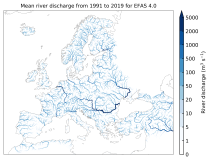
This dataset provides gridded modelled hydrological time series forced with medium-range meteorological forecasts. The data is a consistent representation of the most important hydrological variables across the European Flood Awareness System (EFAS) domain. The temporal resolution is sub-daily high-resolution and ensemble forecasts of:
River discharge
Soil moisture for three soil layers
Snow water equivalent
Interval/period: N/A
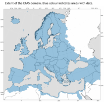
River discharge
Volumetric soil moisture
Snow water equivalent
Soil wetness index (root zone)
Runoff water equivalent (surface plus subsurface)
Interval/period: Fri, 01/01/1999 - Thu, 08/27/2026
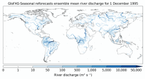
Interval/period: Thu, 01/01/1981 - Sat, 07/01/2023
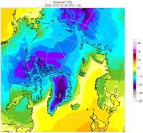
Interval/period: Tue, 10/01/1985 - Wed, 12/31/2025
Interval/period: Sun, 09/01/1985 - Wed, 12/31/2025
Interval/period: Sun, 01/01/1950 - Fri, 01/01/2100
Interval/period: Fri, 01/01/2021 - Thu, 08/27/2026

Note: This Generation 1 Collection has been superseded by Generation 2 Simulation-level Collections
Interval/period: N/A
Note: This Generation 1 Collection has been superseded by Generation 2 Simulation-level Collections
Interval/period: N/A
The nextGEMS data is aligned with the Climate Change Adaptation Digital Twin. The DestinE Digital Twin for Climate Change Adaptation (Climate DT) supports adaptation activities by providing innovative climate information on multi-decadal timescales, globally, at scales at which many impacts of climate change are observed.
Interval/period: N/A
The nextGEMS data is aligned with the Climate Change Adaptation Digital Twin. The DestinE Digital Twin for Climate Change Adaptation (Climate DT) supports adaptation activities by providing innovative climate information on multi-decadal timescales, globally, at scales at which many impacts of climate change are observed.
Interval/period: N/A
Interval/period: Sun, 01/01/1950 - Thu, 06/25/2026
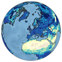
Interval/period: Sun, 01/01/1950 - Fri, 05/01/2026
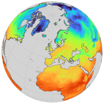
Interval/period: Sun, 01/01/1950 - Thu, 06/25/2026
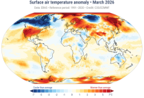
Interval/period: Mon, 01/01/1979 - Fri, 05/01/2026
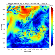
Interval/period: Sat, 09/01/1984 - Tue, 03/31/2026
Interval/period: Sat, 09/01/1984 - Tue, 03/31/2026
Interval/period: Sat, 09/01/1984 - Tue, 03/31/2026
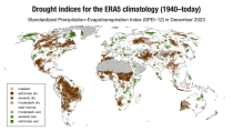
The dataset comprises two standardised drought indices:
- the Standardised Precipitation Index (SPI)
- the Standardised Precipitation-Evapotranspiration Index (SPEI).
Interval/period: Mon, 01/01/1940 - Fri, 05/01/2026
Interval/period: Tue, 12/01/2020 - Mon, 06/01/2026
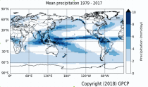
Interval/period: Mon, 01/01/1979 - Mon, 06/30/2025
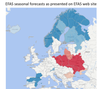
River discharge
Volumetric soil moisture
Snow water equivalent
Soil wetness index (root zone)
Runoff water equivalent (surface plus subsurface)
Interval/period: Sun, 11/01/2020 - Mon, 06/01/2026
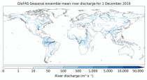
River discharge
Soil wetness index (root zone)
Snow water equivalent
Runoff water equivalent (surface plus subsurface)
Interval/period: Tue, 12/01/2020 - Mon, 06/01/2026
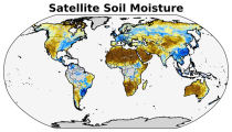
Interval/period: Wed, 11/01/1978 - Sat, 06/20/2026
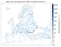
River discharge
Volumetric soil moisture
Snow water equivalent
Soil wetness index (root zone)
Runoff water equivalent (surface plus subsurface)
Interval/period: Thu, 10/11/2018 - Mon, 06/01/2026