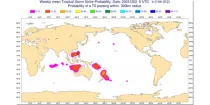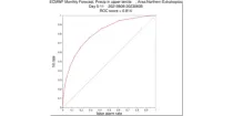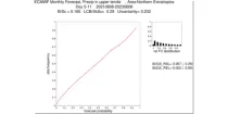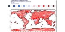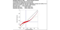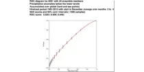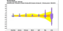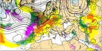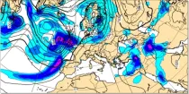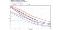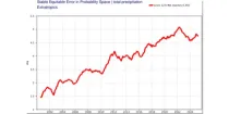
This diagram gives a measure of the effectiveness of the model by showing when the 1-SEEPS of ...

calendar_today Interval/period: N/A

open_in_newview in Open Charts
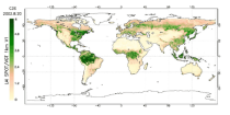
This catalogue entry provides satellite-derived estimates of two related variables: Leaf Area Index (LAI) and fraction of Absorbed Photosynthetically Active Radiation (fAPAR). LAI and fAPAR are both Essential Climate Variables (ECVs) as defined by the Global Climate Observing System (GCOS), meaning they have been designated as essential for contributing to a comprehensive view of Earth’s climate, its variability and trends.

calendar_today Interval/period: Tue, 09/01/1981 - Sun, 12/01/2024
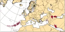
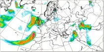
Lightning flash densities are diagnosed from forecast values of hydrometeor content, CAPE (convective available potential energy), and cloud base height that has been output by the convection scheme...

calendar_today Interval/period: N/A

open_in_newview in Open Charts

**Note:** In **June 2023** ECMWF implemented a **major upgrade ...**

calendar_today Interval/period: N/A

open_in_newview in Open Charts
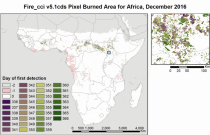
The Burned Area products provide global information of total burned area (BA) at pixel and grid scale. The BA is identified with the date of first detection of the burned signal in the case of the pixel product, and with the total BA per grid cell in the case of the grid product. The products were obtained through the analysis of reflectance changes from medium resolution sensors (Terra MODIS, Sentinel-3 OLCI), supported by the use of MODIS thermal information.

calendar_today Interval/period: Mon, 01/01/2001 - Fri, 04/01/2022
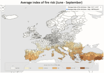
The dataset presents projections of fire danger indicators for Europe based upon the Canadian Fire Weather Index System (FWI) under future climate conditions. The FWI is a meteorologically based index used worldwide to estimate the fire danger and is implemented in the Global ECMWF Fire Forecasting model (GEFF). In this dataset, daily FWI values, seasonal FWI values, and other FWI derived, threshold-specific, indicators were modelled using the GEFF model to estimate the fire danger in future climate scenarios.

calendar_today Interval/period: N/A

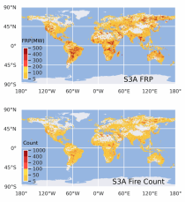
This dataset provides global information on the timing and location of Active Fires (AF) burning on Earth's surface during satellite overpasses, and also records their Fire Radiative Power (FRP) as a measure of strength. FRP relates to a fire's combustion rate, and the rate at which smoke containing greenhouse gases, reactive gases and particular matter is released into the atmosphere. The vast majority of detected hotspots are related to landscape fires, however other high temperature targets such as active volcanoes and gas flares are also present in the data.

calendar_today Interval/period: Wed, 01/01/2020 - Fri, 02/28/2025
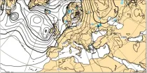
Where precipitation is forecast, a type of precipitation can be assigned according to the temperature structure of the model atmosphere that includes the layers through which the model precipitation falls...

calendar_today Interval/period: N/A

open_in_newview in Open Charts

Total accumulated rainfall charts identify areas at greater risk of significant rainfall (or rain equivalent e.g.snowfall) but give no information regarding whether this occurs over a short or prolonged time period...

calendar_today Interval/period: N/A

open_in_newview in Open Charts

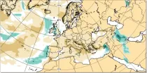
This chart shows the anomaly in precipitation (in mm of rainfall or rainfall equivalent) during a 24 hour period immediately prior to the chosen valid date/time...

calendar_today Interval/period: N/A

open_in_newview in Open Charts

This chart shows the anomaly in snowfall (in mm of rainfall equivalent) during a 24 hour period immediately prior to the chosen valid date/time...

calendar_today Interval/period: N/A

open_in_newview in Open Charts

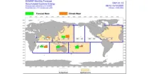
The charts show mean frequency and accumulated cyclone energy of tropical storm activity. ...

calendar_today Interval/period: N/A

open_in_newview in Open Charts

The charts show the evolution of existing and potential tropical cyclone activity. ...

calendar_today Interval/period: N/A

open_in_newview in Open Charts

**Note:** In **June 2023** ECMWF implemented a **major upgrade ...**

calendar_today Interval/period: N/A

open_in_newview in Open Charts

**Note:** In **June 2023** ECMWF implemented a **major upgrade ...**

calendar_today Interval/period: N/A

open_in_newview in Open Charts

**Note:** In **June 2023** ECMWF implemented a **major upgrade ...**

calendar_today Interval/period: N/A

open_in_newview in Open Charts

The reliability diagram shows the reliability of the ECMWF seasonal forecast system (SEAS5) with ...

calendar_today Interval/period: N/A

open_in_newview in Open Charts

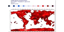
This chart shows the Relative Operating Characteristics (ROC) diagram for the three-month ...

calendar_today Interval/period: N/A

open_in_newview in Open Charts

The ECMWF seasonal forecasts (SEAS5) are produced every month with a 51-member ensemble at ...

calendar_today Interval/period: N/A

open_in_newview in Open Charts

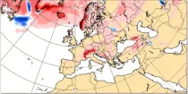
These charts aim to point towards areas where anomalous weather is likely to occur. ...

calendar_today Interval/period: N/A

open_in_newview in Open Charts

GraphCast (Google DeepMind): a deep learning-based system developed by Google DeepMind.It is initialised with ECMWF analysis. GraphCast operates at 0.25° resolution.

calendar_today Interval/period: N/A

open_in_newview in Open Charts

GraphCast (Google DeepMind): a deep learning-based system developed by Google DeepMind.It is initialised with ECMWF analysis. GraphCast operates at 0.25° resolution.

calendar_today Interval/period: N/A

open_in_newview in Open Charts

This chart shows probability information regarding point precipitation, as derived from the ...

calendar_today Interval/period: N/A

open_in_newview in Open Charts

These diagrams compare the Brier Skill Scores (BSS) and the  Continuous Ranked Probability ...

calendar_today Interval/period: N/A

open_in_newview in Open Charts
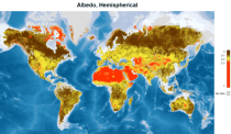
This catalogue entry provides satellite-derived estimates of surface albedo, an Essential Climate Variable (ECV) as defined by the Global Climate Observing System (GCOS). Surface albedo is critical for understanding the Earth’s climate, its variability, and trends, as it quantifies the fraction of solar irradiance reflected by the Earth’s surface. This variable plays a vital role in the global radiation budget, influencing surface temperatures, water balance, and climate feedback mechanisms, such as the ice-albedo feedback in polar regions.

calendar_today Interval/period: Tue, 09/01/1981 - Sun, 12/01/2024