
Datasets
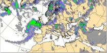
Predicting near surface visibility is dependent on predicting the correct dynamic and thermodynamic conditions in the boundary layer which can be highly variable. Fog is an extremely important weather hazard...
Interval/period: N/A
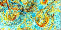
The movement or transfer of vorticity helps in the assessment of vertical motion of air (ascent) in the troposphere. Where a local vorticity maximum approaches an area there is a tendency for air to rise and where a local vorticity maximum moves ...
Interval/period: N/A
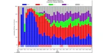
This diagram shows daily probabilities for four types of Euro-Atlantic weather regimes over ...
Interval/period: N/A

**Note:** In **June 2023** ECMWF implemented a **major upgrade ...**
Interval/period: N/A
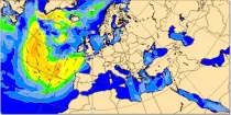
Mean windsea wave direction is the spectrally averaged direction of propagation of the windsea waves (weighted by wave height). Arrow length is proportional to the speed of wave propagation...
Interval/period: N/A
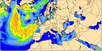
Significant windsea wave height can be shown to correspond to the average wave height of the top one-third highest windsea waves. Wave heights are shown in metres using colour shading...
Interval/period: N/A
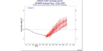
This chart provides information on the predicted evolution of the sea surface temperature (SST) ...
Interval/period: N/A
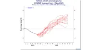
This chart provides information on the predicted evolution of the sea surface temperature (SST) ...
Interval/period: N/A
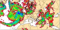
This chart is derived from the ECMWF ensemble (ENS) and shows the probability that the ...
Interval/period: N/A