
Datasets
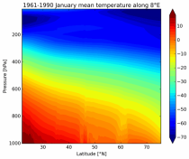
It has been generated using the UERRA-HARMONIE system by combining model data with observations into a complete and consistent dataset using the laws of physics.
Interval/period: Thu, 10/18/2018 - Wed, 07/31/2019
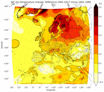
UERRA-HARMONIE and MESCAN-SURFEX systems. Forecasts up to 30 hours initialised
from the analyses at 00 and 12 UTC are available only through the CDS-API (see Documentation).
UERRA-HARMONIE is a 3-dimensional variational data assimilation system,
while MESCAN-SURFEX is a complementary surface analysis system.
Using the Optimal Interpolation method, MESCAN provides the best estimate of daily accumulated precipitation
Interval/period: Thu, 10/18/2018 - Wed, 07/31/2019
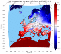
combined with observations using the UERRA-HARMONIE system and MESCAN-SURFEX system.
UERRA-HARMONIE is a 3-dimensional data assimilation system, whereas
MESCAN-SURFEX is a complementary surface analysis system. In general, the
assimilation systems are able to estimate biases between observations and to
sift good-quality data from poor data. The laws of physics allow for estimates
Interval/period: Thu, 10/18/2018 - Wed, 07/31/2019
Interval/period: Tue, 07/05/1994 - Sun, 02/28/2021

The objective of UERRA is to produce ensembles of European regional meteorological reanalyses of Essential Climate Variables (ECVs) for several decades and to estimate the associated uncertainties in the data sets. It also includes recovery of historical (last century) data. UERRA datasets come from 5 Numerical Weather Predication models: COSMO, HARMONIE, MESAN, MESCAN-SURFEX and UM/4DVAR.
Interval/period: N/A
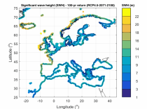
Interval/period: Thu, 01/01/1976 - Fri, 12/31/2100
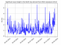
Interval/period: Thu, 01/01/1976 - Fri, 12/31/2100
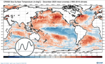
Interval/period: Wed, 01/01/1958 - Wed, 01/01/2025
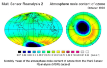
Interval/period: Wed, 04/01/1970 - Tue, 07/01/2025
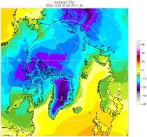
Interval/period: Tue, 10/01/1985 - Wed, 12/31/2025
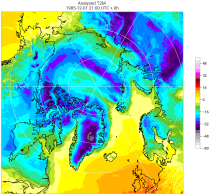
Interval/period: Sun, 09/01/1985 - Wed, 12/31/2025
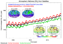
Interval/period: Tue, 10/01/2002 - Mon, 06/30/2025
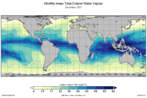
This catalogue entry provides the TCWV data product usually called Hamburg Ocean Atmosphere Parameters and Fluxes from Satellite Data (HOAPS).
Interval/period: Wed, 05/01/2002 - Thu, 03/01/2012
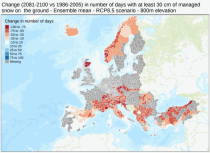
Interval/period: Sun, 01/01/1950 - Fri, 01/01/2100
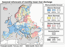
Interval/period: Fri, 01/01/2021 - Tue, 07/14/2026
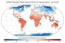
Interval/period: Mon, 01/01/1979 - Tue, 12/31/2024
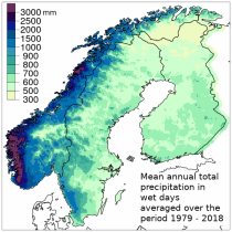
Spatial interpolation methods are applied to observational datasets to create gridded datasets.
In general, there are three types of such methods: deterministic (type 1), stochastic (type 2) and pure mathematical (type 3).
Interval/period: Sun, 01/01/1961 - Thu, 09/18/2025
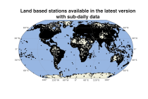
Interval/period: Sun, 01/01/1978 - Wed, 10/17/2018
Interval/period: Mon, 01/01/1979 - Mon, 12/31/2018
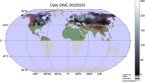
Interval/period: Tue, 01/02/1979 - Tue, 07/14/2026
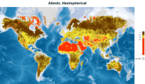
Interval/period: Tue, 09/01/1981 - Sun, 12/01/2024
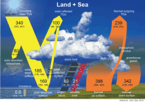
Interval/period: Mon, 01/01/1979 - Mon, 06/30/2025
Interval/period: Wed, 01/01/1986 - Wed, 11/30/2011
The ECMWF OCEAN5 system is a new global eddy-permitting ocean-sea ice ensemble reanalysis analysis system. This Technical Memorandum gives a full description of the OCEAN5 system, with the focus on its Behind-Real-Time (BRT) component, the reanalysis product ORAS5. The OCEAN5 Real-Time (RT) component includes all upgrades developed for ORAS5 and runs daily using the latest observations and forcing fields from the operational Numerical Weather Prediction (NWP).
Interval/period: N/A
Interval/period: Thu, 02/01/1940 - Fri, 01/23/2026