
Datasets
Displaying 1 - 7 of 7
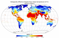
This dataset provides agroclimatic indicators used to characterise plant-climate interactions for global agriculture. Agroclimatic indicators are useful in conveying climate variability and change in the terms that are meaningful to the agricultural sector. The objective of this dataset is to provide these indicators at a global scale in an easily accessible and usable format for further downstream analysis and the forcing of agricultural impact models.
Interval/period: Mon, 01/01/1951 - Sun, 08/09/2026
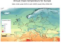
The dataset provides bioclimatic indicators derived from CMIP5 climate projections at 1 km x 1 km resolution for selected regions; Europe, Northern Brazil and Central Africa. This comprehensive set of bioclimatic indicators is specifically relevant for applications within the biodiversity and ecosystem services community.
Interval/period: Sun, 01/01/1950 - Thu, 12/31/2099
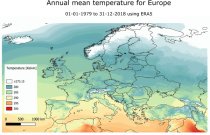
This dataset provides a historical reconstruction of bioclimatic indicators at 1 x 1 km resolution for Europe, Northern Brazil and Central Africa. These bioclimate indicators describe how the climate affects ecosystems, the services they deliver, and nature’s biodiversity. They are specifically relevant for applications within the biodiversity and ecosystem services community.
Interval/period: Mon, 01/01/1979 - Mon, 12/31/2018
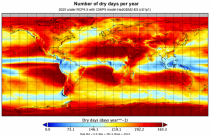
This dataset provides global bioclimatic indicators derived from CMIP5 climate projections. These bioclimatic indicators describe how the climate affects ecosystems, the services ecosystems deliver and nature’s biodiversity. They are specifically relevant for applications within the biodiversity and ecosystem community.
Interval/period: Sun, 01/01/1950 - Thu, 12/31/2099
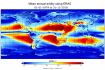
This dataset provides a historical global reconstruction of bioclimatic indicators derived from ERA5 reanalysis on a latitude-longitude grid. These bioclimate indicators describe how the climate affects ecosystems, the services they deliver, and nature’s biodiversity. They are specifically relevant for applications within the biodiversity and ecosystem services community.
Interval/period: Mon, 01/01/1979 - Mon, 12/31/2018
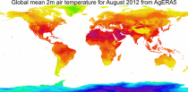
This dataset provides daily surface meteorological data for the period from 1979 to present as input for agriculture and agro-ecological studies. This dataset is based on the hourly ECMWF ERA5 data at surface level and is referred to as AgERA5. Acquisition and pre-processing of the original ERA5 data is a complex and specialized job. By providing the AgERA5 dataset, users are freed from this work and can directly start with meaningful input for their analyses and modelling.
Interval/period: Mon, 01/01/1979 - Tue, 06/23/2026
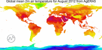
This catalogue entry provides the time series of the originally gridded Agrometeorological indicators from 1979 to present derived from reanalysis, also known as AgERA5. The main difference with the related entry is that the dataset is organised here to make time the primary dimension for analysis and extraction. For any user-defined location (point) or small area, the dataset returns the temporal evolution of the selected variables, enabling efficient time-series studies without requiring users to download and manage full global gridded files.
Interval/period: Mon, 01/01/1979 - Sun, 01/04/2026