This lesson is focused on how to gain flexibility and control when handling GRIB data using advanced ecCodes tools.
ecCodes is an application programming interface developed by ECMWF to decode and encode in WMO GRIB and BUFR formats.
The Meteorological Archival and Retrieval System (MARS) enables users to access and retrieve ECMWF’s historical data.
The Meteorological Archival and Retrieval System (MARS) enables access to ECMWF data. Explore its computing capability
ecCodes is an application programming interface developed by ECMWF to decode and encode in WMO GRIB format.
Six modules introducing the main topics in machine learning in the context of weather and climate.
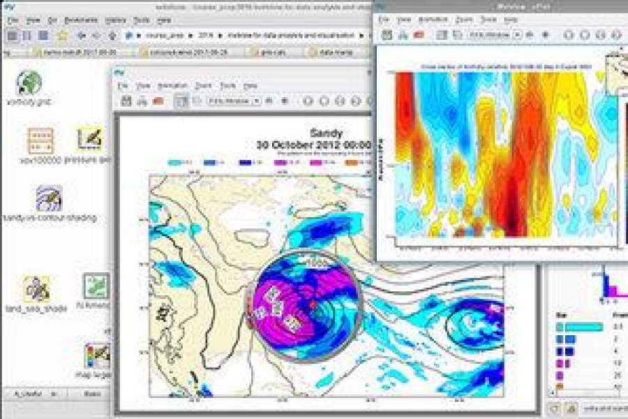
Metview is a meteorological workstation application that enables you to access and visualise meteorological data.
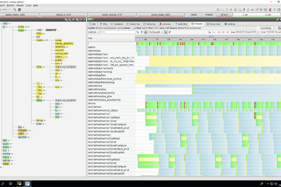
ecFlow is a workflow package that enables users to run a large number of programmes behind a firewall.